Bumberry Dam
Features
Popular
-
Pets Allowed

-
Free

-
Swimming

-
Allows fires

Popular
-
Pets Allowed

-
Free

-
Toilets

-
Drinking Water

-
BBQ Areas

-
Powered sites

-
Showers

-
Swimming

-
Allows fires

Activities
-
Water slide

-
Biking

-
Hiking

-
Fishing

-
Walking Trails

-
4WD Trails

-
Bar

Type
-
Next to car

-
Allotted Site

-
Short walk to car

-
Caravans

-
Camper Trailers

-
Glamping

-
Cabins Available

-
Pub

For Kids
-
Jumping pillow

-
Horse riding

-
Kids play park

-
Organised kids activities

-
TAWK Supporters

Ownership
-
National Parks

-
State Forest

-
Independent

-
BIG4

-
Kui Parks

-
Aspen Parks

-
Discovery Holiday Parks

-
Family Parks

-
Reflections

-
Top Parks

-
NRMA

-
Holiday Haven

-
Ingenia

Access
-
Hike in

-
Car

-
4WD only

-
Disabled Access

Other
-
Firewood for sale

-
Boat Ramp Nearby

-
Wifi

-
Phone Reception

-
Dump Spot

-
Garbage

-
Swimming pool

-
Water (Non Drinking)

-
Laundry

-
Coffee Nearby

-
Boat Cleaning Facilities

-
Cafe onsite

-
4WD beach driving

Upgrade your camping experience
-
NRMA Dubbo Holiday Park
15 Ratings Toilets
 Drinking Water
 BBQ Areas
 Powered sites
62.1 km's away
$27 -
NRMA Bathurst Panorama Holiday Park
6 Ratings Toilets
 Drinking Water
 BBQ Areas
 Powered sites
 Showers
74.4 km's away
$32 -
Gulgong Tourist Park
2 Ratings Toilets
 Drinking Water
 BBQ Areas
 Powered sites
84.6 km's away
$34 -
Apex Riverside Tourist Park
6 Ratings Toilets
 Drinking Water
 BBQ Areas
 Powered sites
 Showers
28.4 km's away
-
BIG4 Forbes Holiday Park
1 Rating Toilets
 Drinking Water
 BBQ Areas
 Powered sites
28.5 km's away
6 Reviews

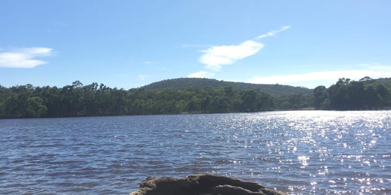
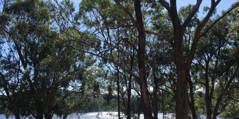
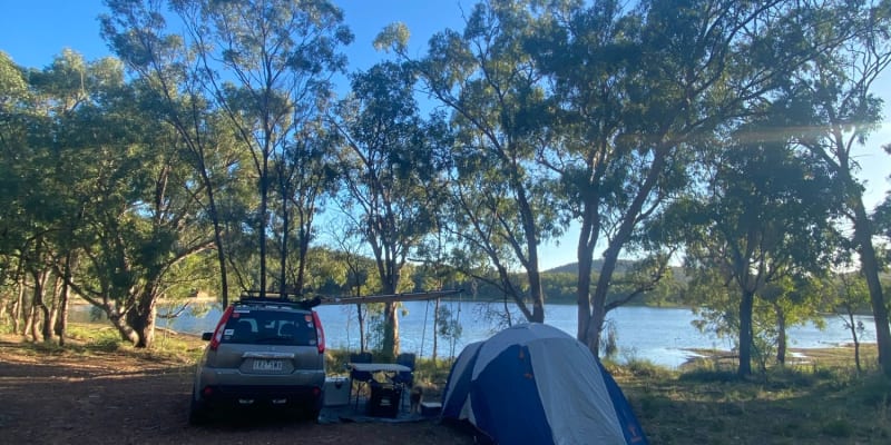
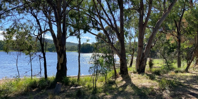
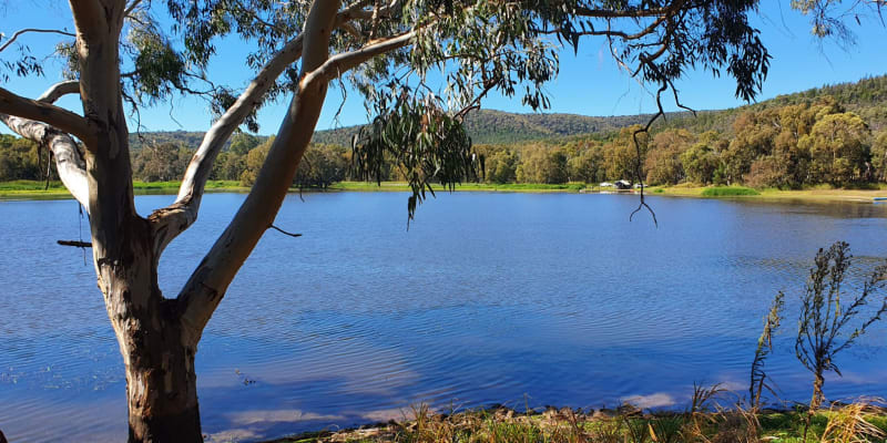
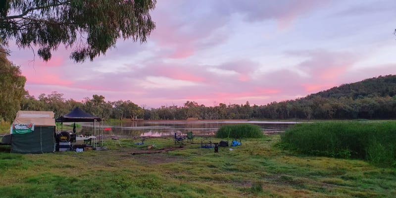
The most beautiful view : Nice big area ,shady trees : Plenty of fire wood. Bit busy at times with passer-bys(locals) but friendly and not an issue . Dam wildlife excellent ,good walking tracks ,swimming,canoeing or just kick back and relax : Would definitely recommend: last bit of the track a bit bumpy but RVs and camper-vans making it in !

We have camped here the last 2x Easter long weekends, it's very quiet with a few day trippers. There were many more people this year (2022) than last. We camped on the dam banks as it's much lower tha... Read more

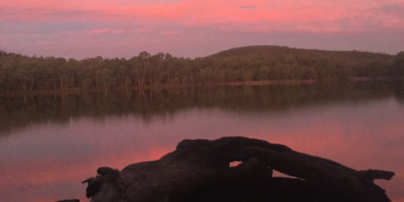
Lovely outlook. But agreed with other campers- feels very isolated so personally would not camp alone. The spot is about 15km down the dirt road, with the dam being the furtherest right hand fork at the end of the road. We only had a short overnight so no chance to explore but seems it would have some lovely bushwalking/4wd-ing around. Plenty of firewood around if the season/restrictions suits. Unsure if others have but I wouldn’t swim in the dam as it seems pretty stagnant. Lovely to look at though.

Peaceful, quiet and beautiful. This is the perfect Bush camp with easy access. There are lots of tracks to walk and the lake is amazing for swimming. There are no facilities as this is a Bush camp but there are a few concrete tables and fire pits. Ps. If you have a 4wd you can take it up the back and round to the clearing which has incredible views overlooking the lake and it’s surroundings.
Location
Bindogundra Rd,
Parkes,
New South Wales
/148.385639,-33.127288,9,0/300x200?access_token=pk.eyJ1IjoiYWlyY2FtcGF1IiwiYSI6ImNqdTg0aXZzNTIxYzEzeW9iN25xaG51eWQifQ.erq2STwV0mFKkODqqk7gPg&attribution=false)
Details
- Listing type
- Campsite
- Caravans
- Yes
- Website
- Visit
Average temperature
Closest
Woolworths Caltex Parkes
0.00 kmChargefox (standard)
0.00 kmPlatt Beach
306.35 kmKookaburra Beach
278.17 kmRelated lists
-
Top 10 free campsites near Larras Lee, NSW
For those camping on the cheap, here are some great campsites we found near Larras Lee, NSW.
-
Top 10 campsites that allow fires near Caragabal, NSW
They say life is better around the campfire. And we could not agree more. Over the years due to increase fire risk it's become a challenge to find great campsites that allow you to have a fire by your tent. Please be a responsible Aircamper and brush up on your fire safety knowledge. Bushwalking NSW has a great article that'll give you the rundown on how to light a fire responsibly. Below we've collected some hidden gems near Caragabal, NSW that still allow you to sit back, toast your feet and incinerate some marshmallows while telling stories about camping when you were a kid.
-
10 fantastic campgrounds with swimming near Caragabal, NSW
Like swimming? We've collected a list of 10 fantastic campgrounds with swimming near Caragabal, NSW for this summer.
- The top 10 coldest campsites in QLD for December
Nearby locations
Nearby campsites
-
Spicer Park Caravan Park
Bushman St, Parkes 2870, New South Wales, 2870, AU
-
Parkes Highway Caravan Park
17 Forbes Rd, Parkes, New South Wales
-
Parkes Showgrounds
52 Victoria Street, Parkes NSW, Australia
-
Parkes Overnighter Van Park
48 Bushman St, Parkes, New South Wales
-
Parkes Overnighter Van Park
48 Bushman St, Parkes, New South Wales
-
Manildra Free Camp Site
Orange Rd, Manildra, New South Wales


